At least this is the last post of my Big Trip from August/September. Primal Quest finished earlier than expected, and I had been tracking the lazcon (laz's cross-country walk from Newport RI to Newport OR) all summer and he was finishing just a bit later than expected.
Which meant -- I might be able to see him finish in Oregon! An unexpected bonus for my west coast trip. The morning after the PQ awards ceremony I dropped off a volunteer at the Vancouver airport and continued south, hardly stopping, no idea whether I'd make it in time or whether laz was still on the road for the last 17 miles on the final day of his long journey.
Every mile west of Corvallis I watched for laz or his crew car. No sign of them. Maybe they would still be at the park in Newport for a few minutes and I'd get to say hi, at least. Or they could be long gone by now. No idea. No update on the Ultra list either.
One mile from the ocean - there was laz at the top of a hill, stopped briefly to write a post on his phone that he could finally see the Pacific after 126 days of walking. Sweet!! I drove past, completely excited that I had just made it! Sandra was parked further down, and she told me that laz wanted to walk to the end by himself, so I headed for the park.
It's a lovely place to finish a cross-country walk:

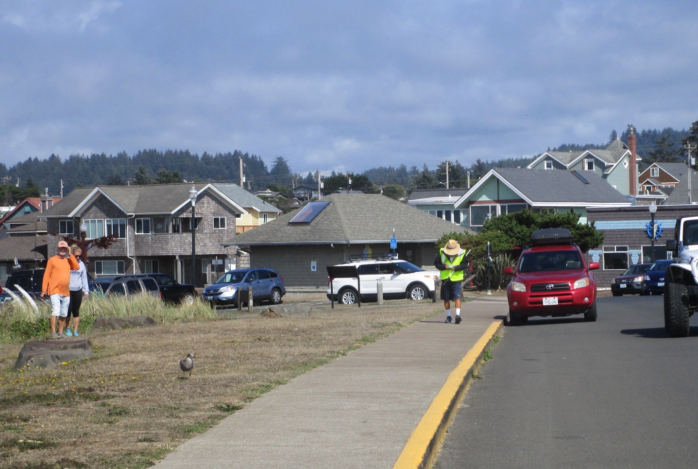
Here comes laz!
Making his way down the path to the beach:

The end of a long trek:

Finally touching the Pacific (I believe he collected a vial of water from both oceans):

Sandra and laz sharing a moment of celebration:

I sat with him for a few minutes while his crew ran around getting things together. It was like a reverse race, with laz sitting and pondering what it all meant, instead of him listening to racers talk about their experience. "That's a long f***ing way," I believe was the summation.
Congratulations laz!!!

Phew, that was super exciting, I'm so glad I made the effort to get there. Highlight of the trip home.
While I was in the area anyway, I might as well see a couple other things. I camped at South Beach state park, did a fun run around the trails and on the beach, and planned a bit of sightseeing.
Some coastal scenery along the way south on route 101:

Cape Perpetua looked like it might have some excitement. The Devil's Churn was pretty awesome, reminding me of the rocks and waves of Maui. It's a long narrow inlet where the waves ride in and build up and then crash inside the cavern at the end:

Big waves, loud crashes, hard to figure out how to film it - if you end up in that area, check it out to see what I'm trying to explain:

A blowhole! Easier to explain. This is the Spouting Horn, quite an excellent blowhole, especially at higher tide:

A video of the Spouting Horn:
I was really here to see Thor's Well. It had been starred on my Google Map for some time now, and I actually wasn't sure what to expect.
Well, it's pretty dang cool. Nothing like anything I'd seen before.
Thor's Well some of the time - a large "well" in the rocks:

Several seconds later:

And then the water's gone...

Then it's back!

The bottom just drops out:

Thor's Well - super cool!
Lots of great wave action - I could sit here all day and watch:

Looks like someone else is interested too - I was impressed with his chosen spot, apparently he knew his camera was safe from inundation:

Quite the rainforest experience on the slightly inland trails:

I popped into a cafe for some clam chowder before heading east. I found another great campground at Richardson Park near Eugene before aiming for the mountains.
Duck!

More volcanic rocks - the interesting trail to Proxy Falls:

And a lovely morning for exploring:

I was in great spirits, happy to be outside and moving:

First of 2 wonderful waterfalls:

And the other one:

Which was all the more interesting when I realized that there was no visible outlet to the pool below the falls. Where does the water go?

Desolate landscape up on McKenzie Highway, with what might be Mt Washington in the distance:

Another flashback to Hawaii:

An excellent path through the lava field:

Amazing vast field of lava rocks:

Even more amazing - the structure called Dee Wright Observatory, with it's neat shape and location:

View of the parking lot and a maze of trails:

View from inside the observatory, out one of the windows that I believe was facing the Sisters:

Almost Seussian:

I had great fun roaming around on the trails:

Sometimes you build the trail around the landscape:

So hard to imagine hiking through here on the Pacific Crest Trail!

I ran down it a short ways just to say I did:

Miles and miles of this, wow:

And finally, the reason I was spending time sightseeing instead of heading immediately back to CA - a 6-hour rogaine near Bend in an area known for its ice caves. More volcanic "activity" :)
One highlight was meeting Max King, professional ultra runner and obstacle course racer. He was entered in the 3-hour event, and apparently learning how to navigate. Watching him head toward the first control, I was reminded of how John used to orienteer when we all were just starting out. Run fast! Pass up the control! Correction! Turn around, find it, head off toward the next one! I beat Max to the first control, by the way, probably a once-in-a-lifetime opportunity for me.
Another highlight was getting to see multiple caves (at least, cave entrances) around the course. Kudos to the race designer for taking us to various types of interesting caves, including down a ladder for one and a scramble to the floor of this large entrance for another:

The terrain was relatively flat and quite runnable, making for some fast running and the chance to cover 25+ miles over 6 hours (that's a lot for me for a rogaine). It was also strewn with volcanic features, little bumps and hillocks and rocks here and there. Not so easy to reorient in the more confusing areas if you didn't find the control right away. Happily most of the controls were dangling in the wind in highly visible locations so there wasn't a lot of extra searching - except for the time I angled the wrong way and spent way too long looking for #52, or even the road near #52; that cost me an extra ~15 minutes.
After that booboo, my nav improved significantly and it turned more into a race against the clock. I opted to do a couple out-and-backs to grab some easy points near trails that I could run to. I decided I really wanted #91 along the bottom of the map even though it involved a couple cross-country treks through thicker woods.
The whole second half was rushed, trying to fit in as many extra controls as I could, until finally I was on the main road headed back toward the finish with a few minutes remaining. #32 was just down the side of a hill off the road, did I have time to run down and get it and still get to finish on time? The late penalty was 100 points per minute (!!) so I really really didn't want to be late.
What the heck, it's good training... I didn't see the control right away, but it appeared on the other side of the boulder I hoped it was hiding behind. Then a run to a sandy trail (happily the trails were only occasionally sandy), and a final cross-the-field dash. I finished with a couple minutes to spare, yay!
Eric Bone cleared the course, while I got all except 4 30-pointers (would have loved 1-2 more of them, but that 15-minute mistake made that impossible) for 2nd place. Goodness, that was a lot of work but also great fun! Thank you to Columbia River Orienteering Club!
And that's it for my Oregon/Washington/British Columbia trip, thanks for reading!
No comments:
Post a Comment