Flagstaff! I'm just so happy to be in the high(ish) desert, in a town with other outdoor enthusiasts and what seems like a large # of trails per capita. Since we're here for a couple weeks, of course I had to check out FKT options, and I was psyched to find one that was longer than anything I've run in a while. I love finding new places to explore in this manner.
To top it off, this one had a previous woman's time posted, with Breanna Kay Cornell making the 45-mile loop in 11.5 hours in 2016. That sounded doable, but by no means a slam dunk (at least for me). Especially not knowing the course before last week. The
Flagstaff Loop Trail is partially complete, and partially marked, ranging from beautiful flowing singletrack to more rocky Arizona Trail to dirt roads, plus a bit of pavement to connect things. Sections are going to evolve over time, but I'd guess that overall length and difficulty shouldn't change too much in the future.
Reading about it and trying to map it made me quickly realize that if I wanted to not waste too much time on FKT Day, I better go see some parts of it on the ground beforehand. That ended up being very helpful, saving me a lot of doublechecking (and possibly some backtracking) during the run. Austin Horn ran a crazy-fast 6:23 a couple months ago and posted an excellent map link that I used extensively for my planning.
If I had a better system for taking a gpx file and following along on-the-go, that would save me some time. Might have to work on that...
On the other hand, I also found out in-person that there is currently trail construction on the I-17 underpass, so I could plan the detour in advance (about 0.4 miles longer on roads).
And I also super enjoyed the scouting runs. What a great place to roam around on foot in the summer!
So, with my time chart ready and John queued up to meet me in a few places for support, I walked from our RV park to the highway 89 underpass and prepared to get this show on (or in this case, under) the road:
Running through the tunnel to begin the journey felt like I was about to run onto a football field at the start of a game, woo hooooo!
My photos are a mix of scouting pics (to show parts of the route) and day-of images (more as "proof of completion"). This one is the early morning sunshine making me look really tall:
I was really lucky with the weather; even "normal" Flagstaff weather is quite nice compared to where we've been recently (it's dry, highs in the 80's, cooling breezes), but on this day it only reached into the 70's and I was never hot. Only a few spots of extra-strong wind, but for the most part I was in the trees (or it was a tailwind) and it didn't bother me. I still started just after dawn to run as much as I could in the earliest of daylight.
Following the Arizona Trail/Loop Trail toward Picture Canyon, loving the smooth dirt track:
A squirrel was extremely perturbed at my passing by its tree, chattering at me long after I had whooshed right next to it. Funny squirrel.
Down to the bridge over Rio de Flag:
In some parts of the Loop, the markings either deferred to the individual trail name or disappeared altogether. But when the Loop and the AZT ran together, it was mostly easy to follow. Thank you AZT!
One short section of dirt road, the first of several gates, and then a fun little trail along a bank:
The big field, still in shadow for a few more minutes:
A wonderful view back toward Mt. Elden and the San Francisco Peaks:
Interesting gates, which I assume work reasonably well on a bike too:
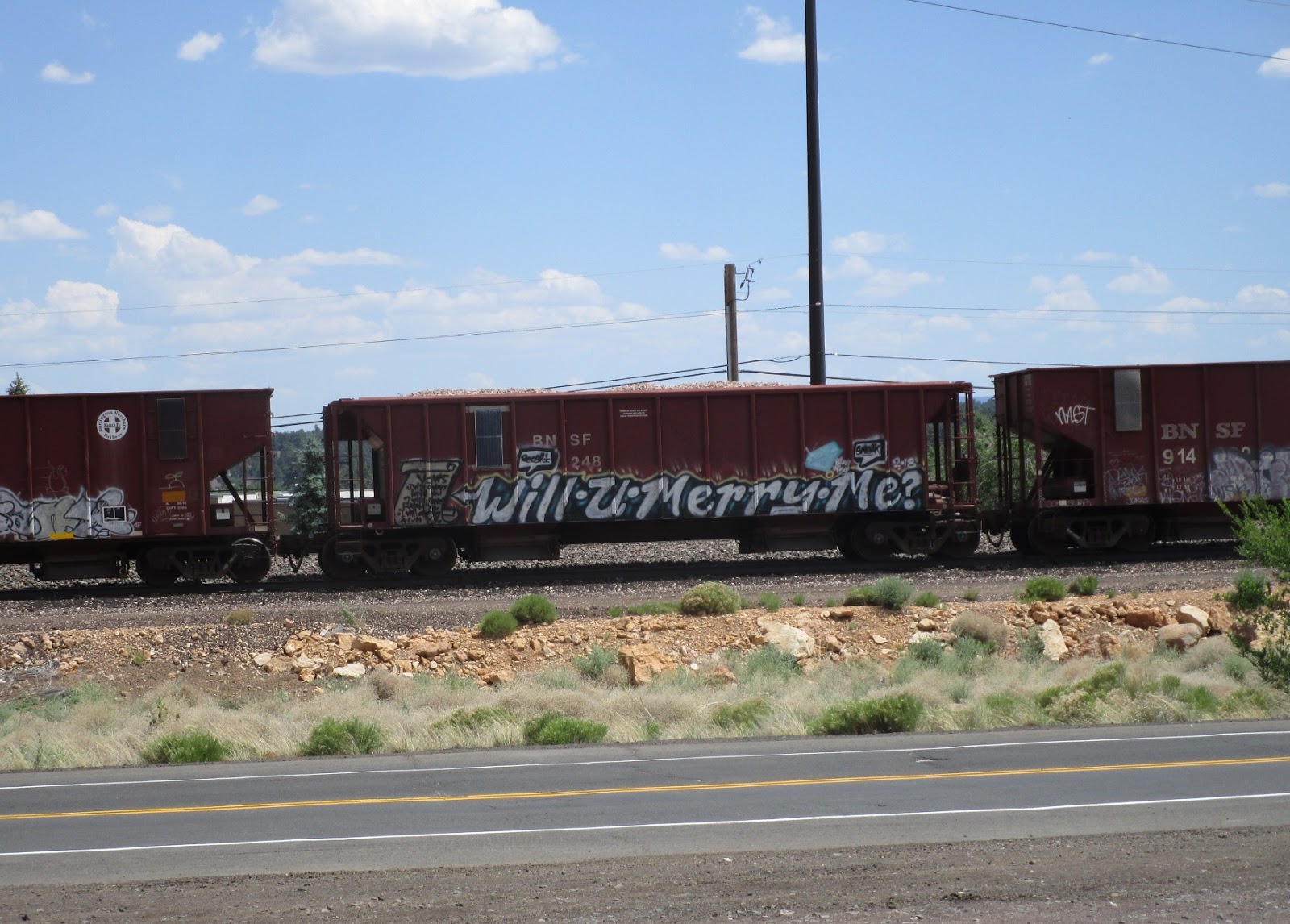
I ran down route 66, over a busy railroad track, and then onto the next trail that led to the I-40 underpass. Next was the Campbell Mesa trail system, basically staying to the outside (north side) trails and following signs toward the trailhead:
More lovely trails, that would be the theme of the day:
I swung past the main road and south along the huge powerline. This sign is a bit confusing because I didn't think the AZT came through here - maybe it used to:
Finally another Loop Trail sign, in a good spot since it diverges from the Campbell Mesa trails here:
John met me on Old Walnut Canyon Road, hello John! I did a quick vest swap, going with something a bit larger that could carry a couple extra half bottles for the upcoming 10-mile section. I was playing around with the 10-oz Ultimate Direction bottles and found that I really liked putting Spiz in one and Trader Joe's ginger miso broth in the other (and plain water in my hand bottle). Yum!
One long open windy southbound section later and I was back on a lovely trail. This one extended for miles, occasionally crossing small doubletrack roads, always with good markings. It wound through the pines, along washes, up into the forest, seemingly way away from anywhere and so calm and peaceful. I absolutely loved it.
Funny timing, I happened to be listening to the podcast Wait Wait, Don't Tell Me, and one of the callers was from Flagstaff. Peter Sagal (the host) said that he had gotten horribly lost on a trail run in Flagstaff once and he will never go back. Made me laugh out loud. I hoped not to suffer the same fate today.
Shadow selfie, I think this is at the top of the "ridge" past Dry Tank:
The trail merges with a dirt road to swoop around in a crescent shape, with a gate in the middle as a point of reference:
I was making good time, crossing over a different section of the AZT, and then onto the first part that I had not seen during scouting. My next bit of listening was The Fastest Known Podcast, and it always makes me happy to be listening to Buzz while I'm running an actual FKT attempt.
The trail drops into a long wash, following alongside it with good views and memories of orienteering on the Mogollon Rim:
I paused briefly for a map check on my phone to make sure I wasn't supposed to go up a small trail to the right. Nope, stay on the main trail, it's obvious. Climbing out of the wash:
There was another questionable little intersection, but I tentatively stayed straight again and soon caught sight of this rock pile and sign so I knew it was the right way:
More splits in the trail, mostly reasonably marked, and one last quick left turn that's easy to miss, and then I was at Lake Mary Road where John was waiting. Yay John! He had even set up a little stool for me to perch on so I could switch back to my smaller (and well-tested) vest. Checking the time sheet, yep, still doing OK:
I made mostly quick work on the transition, then stood up so John could spray me down with more sunscreen. Thank you!
The next section near the airport seems to be in flux in a couple ways. Looking over into the trees, there are some trails, but they aren't officially part of the Loop Trail (yet). Austin ran on the dirt road past the airport, so I followed his lead. It will be nice to eventually change this into a trail section:
During a scouting run I tried to take the I-17 underpass, but came across a construction crew, "closed" signs, and a dug-up path with machines around it. OK then, looks like a detour is in order. I followed the road over to Fort Tuthill, the only obvious option, adding a short amount of distance (but not as much as if I had had to backtrack mid-run).
I found John in the first Tuthill parking area, grabbed a quick bite (sour cream and onion chips and cherries, yum!), and was soon back on trails. Now I was following the Soldier's Trail around to the northwest corner of the park.
Well, that's a sign I've never seen before!
Next up on the iPod = a
story read by Wil Wheaton; he has been reading short stories in the public domain recently, and "Tony and the Beetles" was particularly apt for today's social environment. Thank you Wil!
The Loop Trail cuts across one section of the Soldier's Trail, happily with good signage (as opposed to a couple other little splits just before this point - stay left and then stay right... again, I was glad I had seen this part before):
Out of Fort Tuthill, across a large powerline junction, and onto another bit of trail that was new to me. No problems following it through here, also a few greetings to mountain bikers and other runners. Just another beautiful day in Flagstaff!
Sadly, the trail ended at a big dirt road, where there were a bunch of vehicles kicking up a bunch of dust. I was grateful to have a buff immediately handy to filter out at least a little of it. Also grateful that this part of the loop was only about a mile long. I didn't think to get a photo of the bigger clouds, so here's a vehicle in the far distance with my reaction to this whole situation:
If there was one section that I personally would work on first, putting in a trail over in the woods to the east would be my priority! Even just partway.
As soon as I made the left turn at Kiltie, I was fine again. There's an excellent path alongside it, easy running:
Finding John (and our truck) in the shade on Flagstaff Ranch Road:
Under I-40 one more time, then back onto route 66. There's plenty of shoulder, no worries. Apparently the Loop Trail used to veer off the road much sooner to aim more directly for Tunnel Spring, but the gate to the field now says "no trespassing". I followed Austin's track, staying on the road until the turn-up on Railroad Springs:
Another quick snack at the truck; time for the climb up to Observatory Mesa:
Overall, the Loop doesn't have a huge amount of elevation gain/loss, just some little ups and downs. This climb to the mesa is probably the biggest sustained uphill, not even 400 feet worth, but it felt comparatively like a lot.
Stone on a stump, fancy that:
Enjoying the Ponderosa Pines:
Still running OK, not gaining much time on my splits but feeling like I wouldn't (hopefully) have to push crazy hard at the end:
One more quick stop at the truck on Tillie Lane, then a nice bike path around the neighborhood. The reward was a good view of Mount Humphreys:
I found John one last time at the Schultz Pass/Elden Lookout parking lot, where we quickly switched me back to the bigger vest for one last bigger section. I was slightly warm from here to the end, but so not even close to being hot, so that was totally fine. John, you rock, thank you for all the great support on this run!
I muddled through the mishmash of trails around to Schultz Creek trailhead (possibly going just a hair longer than necessary), then found the AZT. Happy to be following that again for a couple miles.
Also of note, a sign I had previously found at this trailhead. I like it so much, I'm retyping it:
"
Hysteria or Reality?
As humans, our first, most natural response to any tragedy is denial. This is why a lot of people are refusing to take COVID-19 seriously. So let's move past denial and work toward acceptance. The natural steps between denial and acceptance are anger, bargaining, and depression. Walking or riding along a trail is an ideal place to process these kinds of emotions, and please allow yourself the time you need to work through each one of these. But soon - really soon - it will be important to accept personal responsibility for helping to stop the spread of this disease. You can do this by minimizing contact with others.
If, a few months from now, we look back and agree we overreacted and COVID-19 is not as bad as we predicted, then we'll know we did something right by taking extreme precautions. It beats the alternative of underestimating a global pandemic."
See also:
Mr Monk and the 5 Stages of Grief (I wish I could find a clip that continues that scene... it doesn't end there, as anyone who knows Monk might imagine).
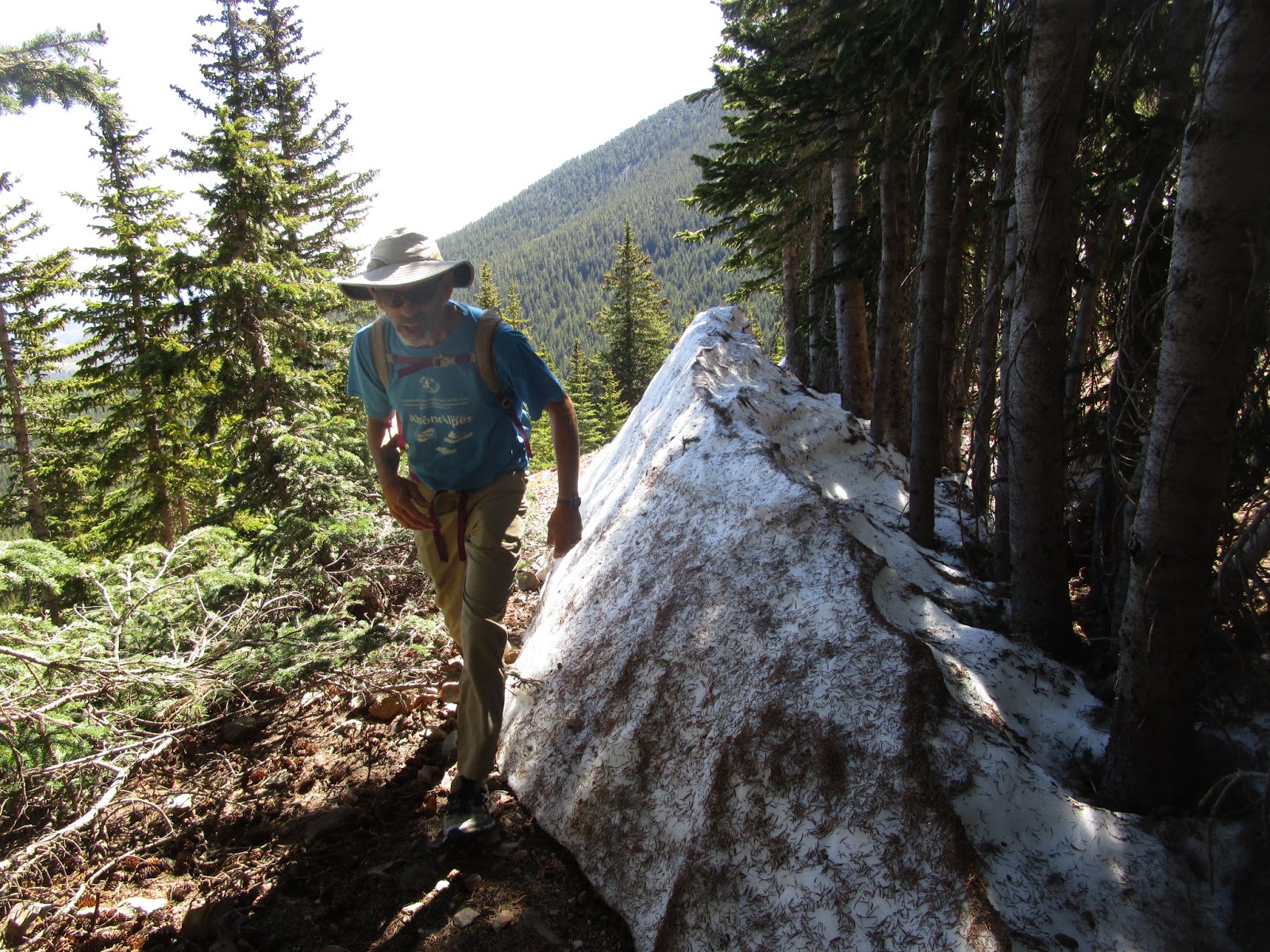
Anyhoo, I climbed up the trail to begin the final section. When I decided where to start/finish the loop and which direction to go, I knew I was leaving a tough portion for the end. It motivated me to move quickly/efficiently in all the miles up to this point, to give myself some extra time.
A somewhat rocky trail, some climbing, warmer temperatures, yep, not the easiest part of the day. At least I had seen it before and had an idea that I needed to be a bit patient through here.
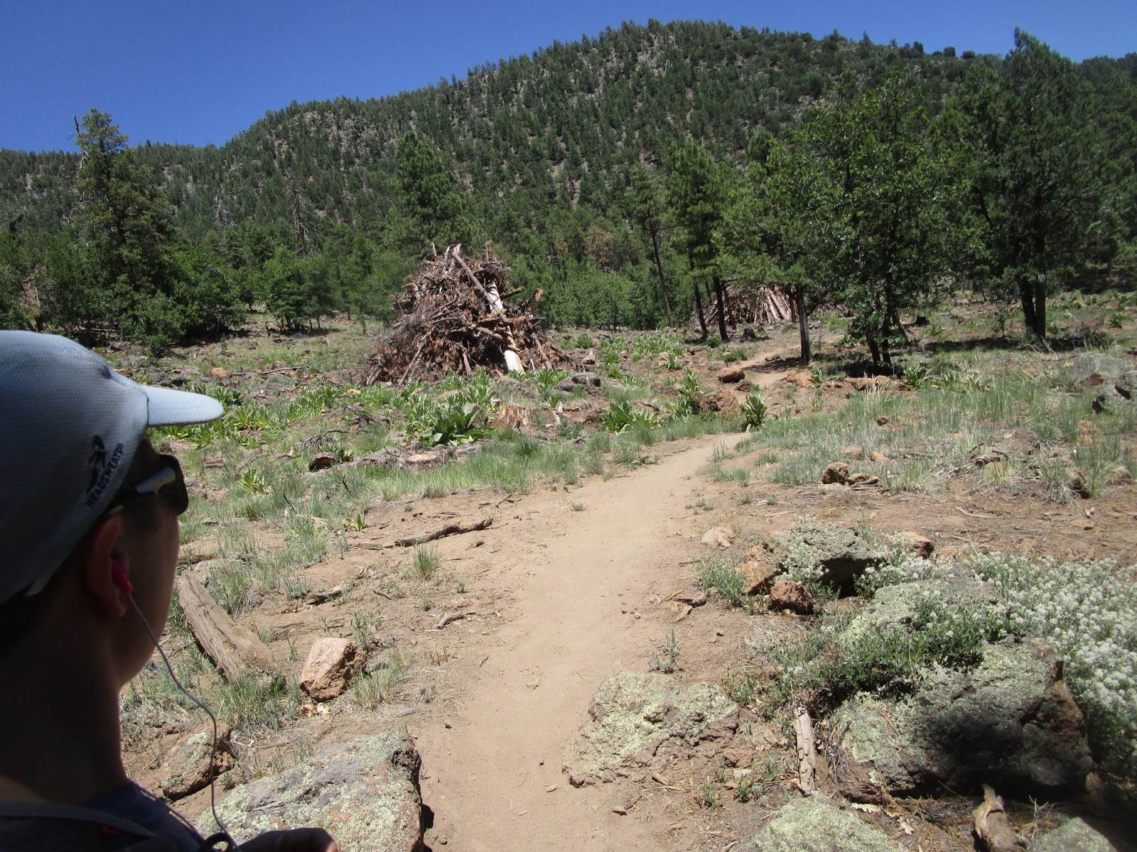
Interesting brush piles:
After the trail crossed Elden Lookout Road, I looked for a right-hand turnoff to the one last little trail section that was new to me. When I'd come through here last time I was following the AZT and unaware that I should even be scouting for the Loop Trail. The Loop Trail turns south without warning, and the divergence from the AZT is completely unsigned. I lost a few seconds double-checking my direction down alongside some houses and through some little dips, but nothing major.
Then the pipeline, back to easy nav for a few minutes:
I finished up another excellent podcast (Ezra Klein and Ta-nehisi Coates trying to understand what is happening right now) and let my earbuds go silent so I could focus on the next section.
I had seen this part - a trail called Forces of Nature - 3 times before and still wasn't sure I could do it correctly without resorting to checking the map on my phone. I even had distance notes for pace-counting. The maze is real.
First let me say that Austin's route is a bit higher/north of the original Loop Trail track. Seems like the Forces of Nature trail is rather fluid over time, so trying to keep it current makes sense to me.
In that vein, I found an even more current (I think) start to the trail, coming off the pipeline just a bit before Austin did. Overall distance is about the same. This looks like the main trail now:
The next mile-ish, until Elden Springs, is a mess. Side trails going every which way, crossing, splitting, converging, one or two signs that don't really help, and no real obvious "right way". If someone did this part differently, I wouldn't be at all concerned. It all (mostly?) gets to the same place eventually. You just might see different things along the way. Like, say, a powerline, or a rock climbing site.
Once my slight modification merged back onto Austin's track, I worked hard to replicate what he had run. Mostly go straight or stay left, except in two spots that are splits to the right. No 90-degree turns. Sometimes it looks like the main trail, sometimes not.
I was happy to find this tree again, I love the walkway along the stones:
And what do you know, I found the Elden gravesite again! Success!
The Elden Spring intersection is equally messy, but at least I had studied that one before and knew where to go around the vegetation to find the way forward.
Hey, the cactii weren't blooming last week, this is cool!
I couldn't help getting another photo of that:
Phew, back to the more obvious trail (where you just "stay high" instead of having to think about each intersection). More rocks, some technical trail, but also more shade, and closer to the end, so I was happy. I started up the iPod one last time, listening to Kate Mulgrew's How to Forget.
I love this rock!
Right after that was the set of intersections for Elden Lookout, Fat Man's Trail, and Christmas Tree. Almost home!
Then... OK, this is a longer climb than I had remembered. I guess I was getting tired. Somewhere along here... or maybe here? ... nope, still going...
Ah ha! The AZT intersection, finally:
And there's John! He had hiked up to come find me, so we ran down the AZT together. He can take pictures while he runs:
Woo hoo, last little bit to the underpass:
I suspected I might regret finishing down this rocky little gulley...
And done.
I had over an hour to spare, again very thankful that I wasn't running up against the clock for the slightly-challenging finish.
Fun one! Thank you to everyone who created and worked on (and continues to improve) the Flagstaff Loop Trail, it's a grand adventure.
https://fastestknowntime.com/route/flagstaff-loop-trail-az