The Zane Grey race along the Highline Trail (below the Mogollon Rim) is something I've heard about for years. It's rather famous (infamous) in ultrarunning circles as an extra challenging race on a technical trail. "Rocks, rocks, and more rocks" was my understanding.
The trail and the race have evolved over time. Apparently some dedicated people have worked on the trail to reroute it, smooth it out, add a bunch of switchbacks instead of straight up/down steep hills, and overall make it easier. In the process it has gotten quite a bit longer. The race used to be a 50-miler. Now, with an added final section, it's a 100k. So we still get to do the entire Highline Trail, plus climb up to the rim as a big ascent right at the end.
While we're here in Arizona it seemed like a good time to try this beast of a race, and it's probably good that I ran it now instead of the harder version a few years ago (even if it was shorter back then). Don't get me wrong, there are still plenty of rocks and ups/downs and ins/outs to deal with. Also many runnable sections. And it's still a beautiful place to spend a day in the wilderness.
I learned that it's a tradition for the race photographer to take everyone's pictures at a gorgeous spot in one of the early sections. Then she scurries to Payson to have the photos developed and printed, bringing them to the finish line to hand out. How cool is that? Thank you, Megan!

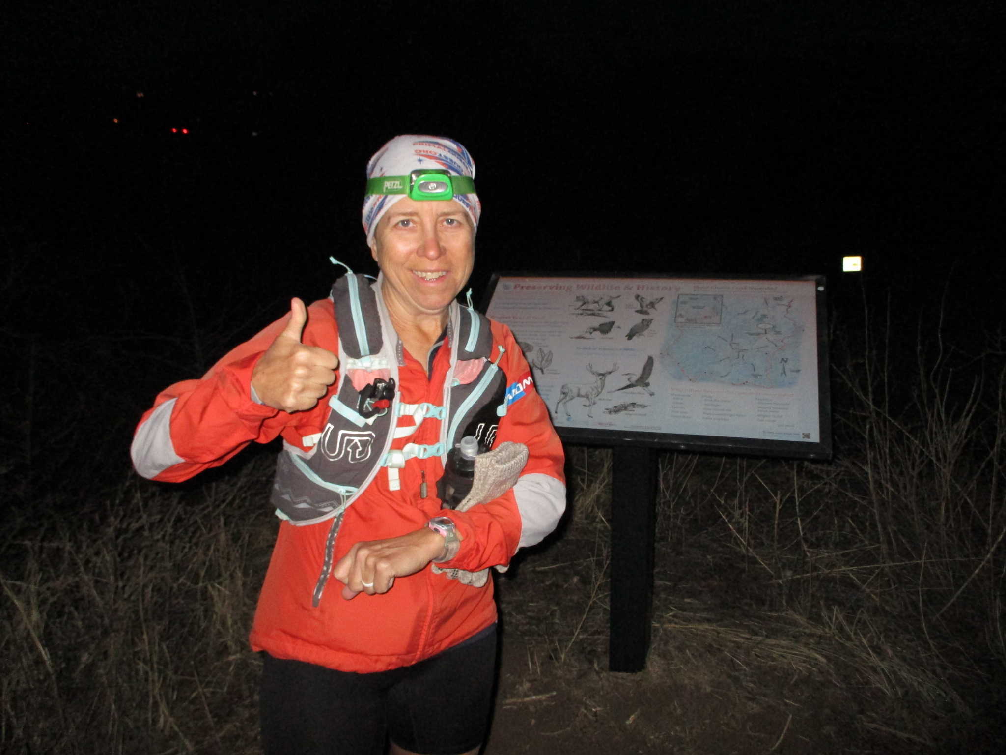
Back to the beginning... John and I drove to Pine on Friday and pitched a tent in the National Forest for the night. It was nice being near the starting line, although that contributed to my underestimating how long it would take for me to get myself fed and ready on Saturday morning. I thought I had made it, dashing across the line and tucking into the back of the pack.
Then I realized... I'm carrying nothing. No water, no food, nothing. I forgot my little pack in the car. Oops! Luckily I wasn't too far up the trail, so I dashed back and yelled for John. Quick, gather the pack, let's try this again. James, the assistant RD, was like, "what is she doing?" and yeah, not one of my finer moments. But better than figuring it out a mile up the hill!
[Side note... Joe the race director and James were both at Urban Challenge Las Vegas in 2002 (there's even a picture - if you scroll far enough down - of us with the Skip Team - one of whom is Joe, crazily enough). It was great fun reminiscing with them about that!]
Other than the minor brain fart of forgetting my pack, the first several hours went great. Legs were happy, everything feeling good, enjoying the cool morning and watching sunrise over the scenery around us. Beautiful! We had amazing weather the whole day, never hot or cold and with an occasional breeze to counter the sunshine. I passed several people, chatting about this or that, then most of them passed me back when I ducked into the bushes for a pitstop (the one other thing I hadn't done before the start).
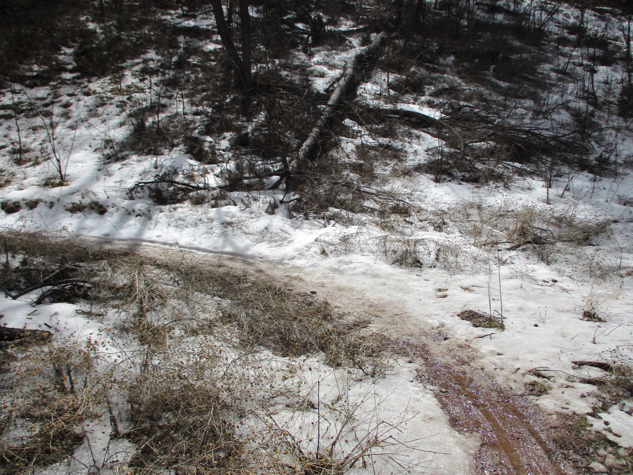
I loved most of the trails that day. Such variety and reminders of other places around Arizona. For a while it was just like running in Sedona. Then picking our way over rock gardens like below Elden Peak. In and out of drainages, climbing over spurs to see what was around the next corner. Little creek crossings with flowing water that we almost never see in Arizona. My favorite, as always, was weaving through the ponderosa pine forests that have the best trails. Thank you ponders!
John met me at the crew spots, helping me with water refills and SPIZ to drink and carry with me. He caught a picture of me leaving Washington Park:

Knowing this was going to be a tough course, I was ready to be patient and just keep moving to get there eventually. I didn't expect to be running close to the cutoff times early. I'm usually well ahead of my time chart in the first half of a race, but not this time. It felt like I was running a solid pace, not too hot or too lackadaisical, guess I better keep doing that and then add a bit more effort.
Actually, I was doing fine on my chart. The cutoff times were on the tight side for much of the race, especially compared to the 19 hours total that they allow at the finish line.
Then something weird happened. I trotted into the remote Hell's Gate aid station to be told, "good news, the cutoff has been extended so you're fine to continue." Um, what cutoff?? I had been careful to record all of them on my sheet and there wasn't one listed here.
I resupplied with water and filled Spiz baggies while listening to the aid station captain and the radio guy talk about it. Apparently she had been told to implement a cutoff, but not what to do with people who came in after that point. My opinion was that she should let them continue on and let the next aid station (where there was crew and vehicle access) take care of it, not the least because there were going to be some justifiably unhappy people to deal with. But hey, I'm not in charge, I just need to get going so I don't hit a cutoff time myself.
Moving on... the other bit of info we got was that the next section after "Hell's Gate" was the actual "Hell" part of the course. For real now, rocks and rocks and more rocks. That'll slow a person down.
My calves picked that moment to start cramping up, which was less than ideal. Slightly kicking a rock would set one or the other off and I'd need to stop for a minute until the cramp loosened up and I could walk it out. On the other hand, my moving speed wasn't much different than if the calves were behaving. It was a slow several miles. I eventually got to placing my feet carefully enough that everything stayed calm, and I could get more effort into my stride.
Somewhere in there the trail turned down a fenceline, dropped steeply down a rocky section, past a yard with howling dogs, and then eventually back up along another fenceline (with a bunch more rocks, of course). Seems like someone owns property up closer to the rim and doesn't want a trail snaking through it. Too bad for us.
The second half of that section was thankfully much nicer. Red rock slabs, gentle winding climbs and descents, much better. It was hard to tell, though, how much further we had to go. And the clock was ticking toward the 3 pm cutoff time.
While John was waiting for me at the Tonto aid station, a Rivian truck drove by! It wasn't anyone related to the race, just a random passerby. Super exciting!

My throne awaits... just don't camp here:

I finally found the aid station, a few minutes after the 3 pm cutoff - I'm barely visible on the slope above the road:

Good news, they gave me a few extra minutes to get myself in and out of there.
I was relieved to be allowed to continue. Plenty of miles left on these legs, especially with my calf situation improving. John and I worked quickly to replenish supplies and get me back on the trail. But not before he showed me the Rivian picture, so cool!
While I was climbing up the next section, John did some roaming around. Thank you to John for providing some images to keep this report from being mostly words.
Not your normal dead tree in the woods, now it's a different kind of art:

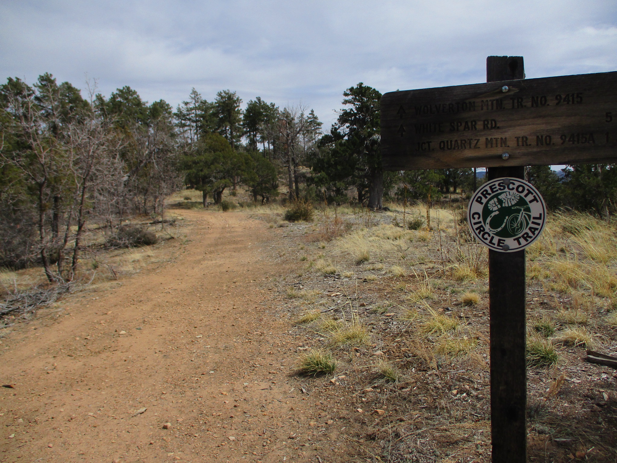
Typical Highline trail, some rocks, some runnable spots, and pretty scenery for when you're not watching your feet:

One of many expansive and lovely views - I enjoyed pausing to stare off into the distance now and then:

John's selfie of the day:

Well, that's it for pictures. Thanks John!
I found the water-only aid station at Horton Springs (spring water, yes please!) and heard from a fellow runner that the next section is "a piece of work". Actually, this runner was named Scott and we had introduced ourselves many miles earlier. He traveled with various other people and I had overheard him mention being at this same race many years ago.
Turns out Scott won the very first Zane Grey race in 1990 - wow!
So if he wasn't looking forward to the next section, it was probably for a good reason.
The reason is that the trail turns way steep for a couple miles. Steep up. Then down and across a drainage. Then way back up again. "Work" is a good way to describe it.
Eventually, as they seemed to do in most sections, things got better. And the downhill into See Canyon was a beautiful flowy switchback trail, very nice.
At this point I found out that all of the cutoffs had been extended by 20 minutes, which was all I needed. Grateful! I really wanted to see the new section of the race course, the final climb up to the rim. Seems like I might have an opportunity to get there now.
One big climb, then more wandering this way and that, now in the dark. It was a chance to make a lot of headway in the David Sedaris book I'm listening to, occasionally laughing to myself as I chugged along.
One final aid station, finally with plenty of leeway to get to the finish. John again helped me resupply, then it was time for the last big climb. My legs were tired but willing.
I switched my iPod to music and rocked my way up the rocky hill. It takes a while to get going uphill for real, but once it turns straight upward it does it in a serious way. One foot in front of the other, happy to be there, happy to be almost done.
The last couple miles are mostly flat and through the trees on the rim. When I turned onto the dirt road there was a sign stating "1.7 miles to go" and my legs were excited to run without having to dodge rocks. I chased a headlamp further ahead of me, but that guy also had a "go!" switch on the flat road and we both zoomed along.
"Zoom" is a relative term, of course.
Yay for the finish line, so happy to make it here!

Beautiful, challenging, interesting and varied course, very glad I ran it (once) :)
Huge hugs to John for all the help and support! Thank you, trail buddy.