Did you know there's a PCT in Arizona? Not the Pacific Crest Trail, something more attainable. It's called the Prescott Circle Trail, and it's a beautiful, well-signed loop around Prescott.
As is common, I happened to notice a signpost during a run so I got online to investigate. The town has an excellent website about it and someone named Nigel Reynolds even created a wonderful map book with lots of details and pictures.
It seemed like it should be an FKT, so I started about submitting it. Then I discovered that the idea was so good, Aravaipa created a race on it.
So - not an FKT (FKT rules don't allow race courses).
But still worth running to see if I could do the whole 56 miles in a day. John was up for crewing again, thank you so much John!
We drove over that morning and got started at the Peavine Trail just before first light:
Which made for a really lovely beginning to the morning as I ran past Watson Lake:

Ah, the Granite Dells! Such a treasure. If you hike one place in Prescott, come here:

Heading toward the Embry-Riddle campus with the sun at my back:

The trail winds around campus a bunch, with an occasional view of Granite Mountain - looks like another place we need to explore sometime:

John met me at Pioneer Park, then I climbed over to the Legacy and Longview trails. Somewhere along here I found (but didn't use) an excellent bench:

There's one gap in the loop, requiring a 1.5 mile road run to connect the trail parts. It was still early and traffic was minimal.
Over at the next trailhead, John was talking to a guy who knew a lot about the PCT, so that was fun to listen to while I did a quick resupply. As I was leaving I heard the guy tell his companion, "She's running the whole loop in one day!"
Slightly closer to Granite Mountain, as I climbed away from the more populated areas and into the quieter sections of the trail:

Feeling good and all smiley this morning! Maybe because I'd found a few random ponderosa pines along the way:

Finding John and a few mountain bikers at Iron Springs:

John told me about seeing giant plumes of pollen coming off some trees in the area. I saw several as I ran down the rails-to-trails section, even slowing down once to let the wind finish blowing a bunch of pollen across the trail before I arrived. Happily that phenomenon seemed to be happening only in that area (that I noticed).
John, you're going to need a bigger saw:

Checking out the ruins of an old cabin, with part of the chimney still standing:

The trail is in excellent shape, great for an all-day run, and the clouds and mild temperatures were super helpful:

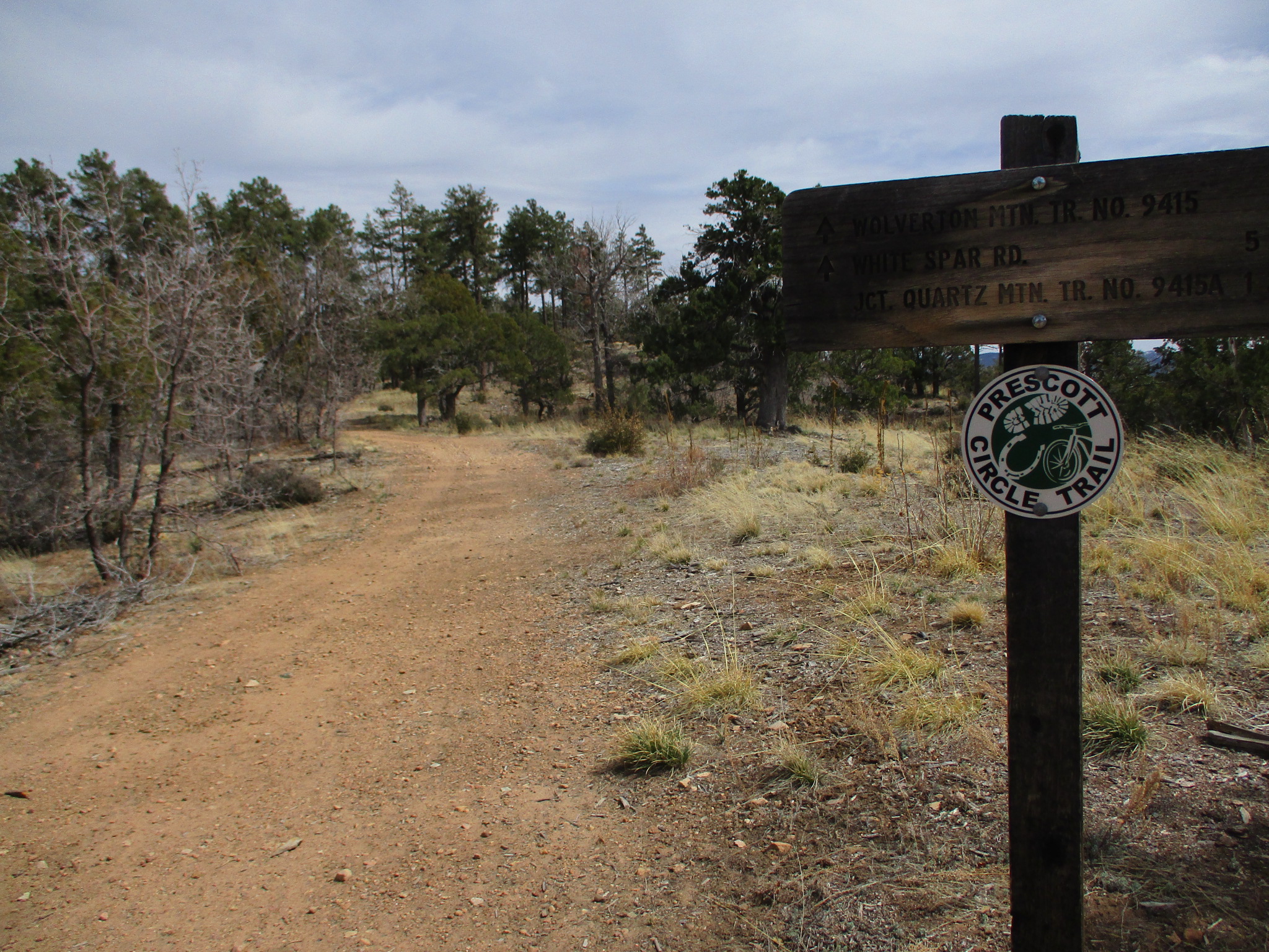
It was fun following along on the map and reading the instructional and informational notes from the book. There are relatively frequent turns and the scenery keeps changing. Occasional views off into the distance. And mostly excellent signage so I rarely needed to consult the gpx track on my phone:

John had met me at Thumb Butte Road and then had time to do some exploring of his own. He got close to the actual Thumb Butte, nice one!

John's view from his highpoint:

There are only a couple spots that could use a sign, including the southern end of trail #327. There's a switchback at a drainage crossing with an unmapped trail going straight. Easy to figure out if you stop to check things out, but easy to get off track if you aren't paying attention. Happily I was watching closely and didn't do any bonus miles, at least not right there.
The Copper Basin trailhead appeared out of nowhere - Hi John!
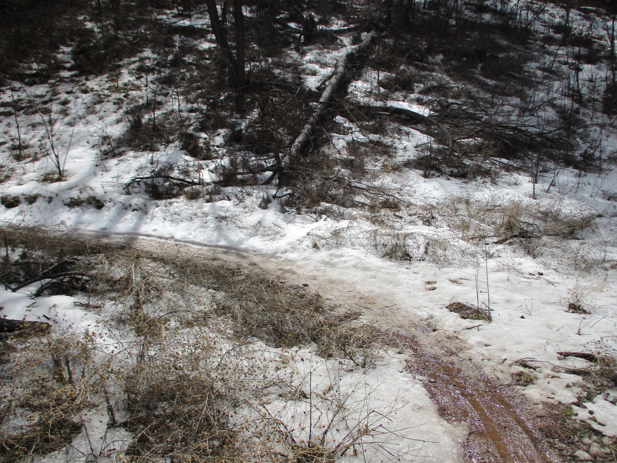
Near Aspen Creek I saw just a bit of remaining snow:
On my way up to the highest spot on the trail:
Interesting views of Quartz Mountain all along this section:

And interesting white rocks all along the trail below the peak:

The long gentle downhill run felt great, still making decent time. Another lovely bench along the way:

John was waiting for me near White Spar campground, and got a fun photo as I was on my way again:

Rolling hills through the woods brought me to this pretty spot on the creek that comes out of the Goldwater Lakes:

Soon I was looking through the trees at one of the lakes, happy to finally catch a glimpse of the features I'd seen on the map a couple times before:

Above Upper Goldwater I found another "add another signpost here" opportunity, i.e. an intersection without clarity. I ended up at the lake, which was nice but not where the PCT goes. Another foray in the direction of my gpx track (this time too vague to follow) and I finally found the right path. At least I wasn't on the clock for anything and it wasn't too many extra steps.
John brought me blueberries, yay!

From Senator Highway I started along a trail I'd previously run, heading uphill toward some great views. I was well along in my podcast feed, still moving OK if not quite as peppy.
Partway along trail #62 I turned onto #329 toward Badger Mountain. This was new trail for me, and it weaves in and out of the hillside, like A LOT. I was happy to find John at our next meeting point before it got dark, minor mission accomplished!

John had hiked up from a lower trailhead, thank you John! We got these Star Trek Lower Decks duffles on the most recent cruise, perfect for a set of crewing gear. It tickles me to see John carrying it out on the trails:

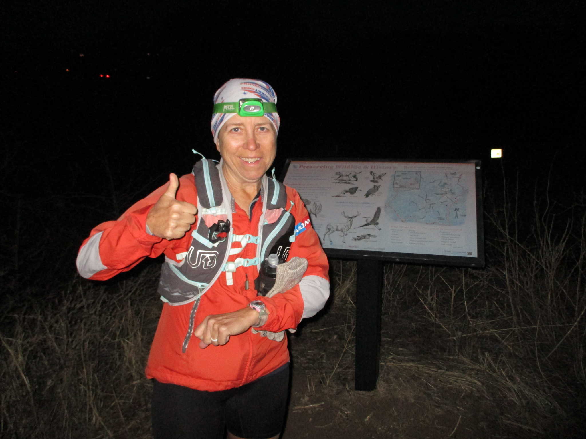
It got dark during the next long downhill, on the way to the highway 69 underpass. The underpass had been icy on a recent training run, but today it was warm enough that it was just a thin layer of water. John met me again by trekking over from a nearby parking lot, bringing a couple items including a Buff for my head. Thank you John!
The last section was only 4 1/2 miles, but I didn't know the trail at all and it seemed to go in odd directions in the dark, this way and that. Probably didn't help that I misidentified the "hairpin turn" on the map and thought I was a lot further along that I was. Finally I figured it out, realized I was just moving pretty slowly, and decided I needed to be patient.
Up and over an old landfill (?), down to one final rails-to-trails section, under the parkway, and back to where I'd started.

What a wonderful, fun, interesting day of running! I really like this trail, highly recommend.
And big hugs all around for my wonderful husband!
And big hugs all around for my wonderful husband!
No comments:
Post a Comment